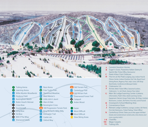
Peek’n Peak Ski Area Ski Trail Map
near Wattsburg, New York, United States
See more

 See more
Nearby Maps

Peak-N-Peek Ski Trail Map
Official ski trail map of Peak-N-Peek ski area
less than 1 mile away
Near 1405 Old Road, Clymer, NY 14724

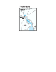
Findley Lake Map
Tourist map of Findley Lake, New York. Shows shops, lodging and hiking trails.
4 miles away
Near Findley Lake, NY

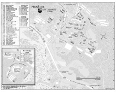
Penn State Erie Behrend College Campus Map
Campus map of Behrend College, Penn State Erie.
13 miles away
Near Wesleyville, PA

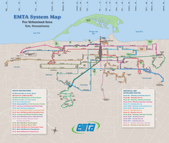
Erie Metro Bus routes Map
18 miles away
Near 127 14TH St. erie, pa

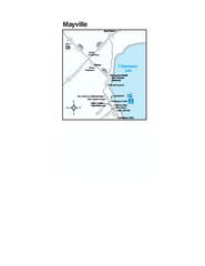
Downtown Mayville Map
Tourist map of Downtown Mayville, New York. Shows museums, restaurants, shops, government buildings...
18 miles away
Near Mayville, NY

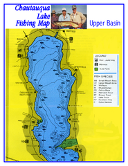
North Chautauqua Lake Fishing Map
Fishing map of northern Chautauqua Lake, New York. Shows marinas, boat ramps, state parks, and...
18 miles away
Near Chautauqua Lake, NY

 click for
 Fullsize

0 Comments
New comments have been temporarily disabled.