
 Edit this map

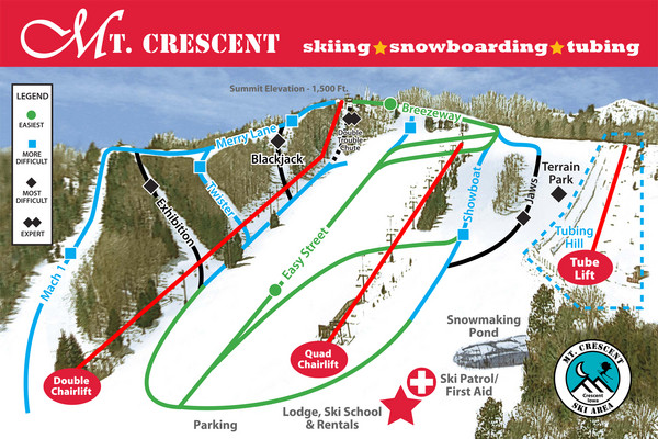
Mt. Crescent Ski Area Ski Trail Map
near 17026 Snowhill Ln, Honey Creek, IA

 See more

Nearby Maps
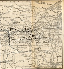
1925 Union Pacific Railroad Map Part 2
Guide to the Union Pacific railroad lines in the Midwest of the United States
24 miles away
Near US
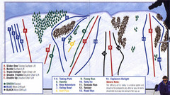
Fun Valley Ski Trail Map
Trail map from Fun Valley.
25 miles away
Near 1066 500th Ave, Montezuma, IA

Cedar Rapids Tourist Map
31 miles away
Near Cedar Rapids
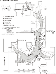
Rock Creek State Park Map
Map of trails, hunting and fishing areas in Rock Creek State Park.
31 miles away
Near kellogg, IA
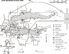
Lake MacBride State Park Map
Map of hiking and biking trails, lake depths and boating and park facilities in Lake MacBride State...
36 miles away
Near solon, IA

 See more


 Explore Maps
 Map Directory
 click for
 Fullsize

0 Comments
New comments have been temporarily disabled.