
 Edit this map

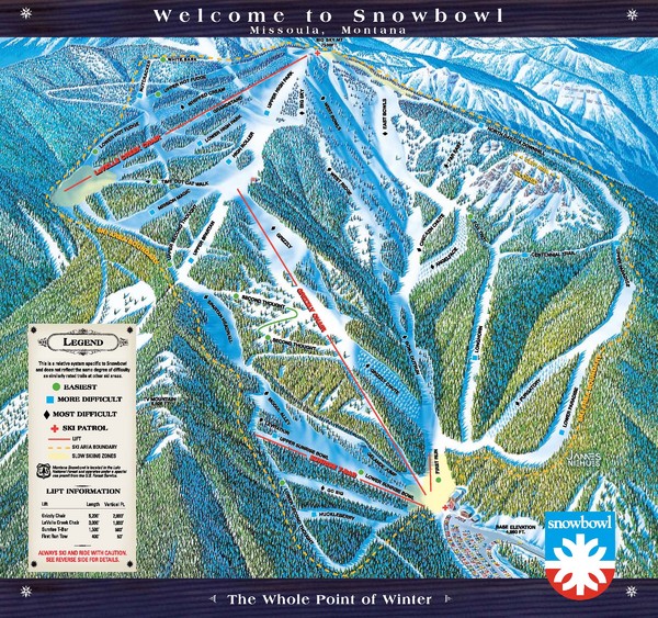
Montana Snowbowl Ski Trail Map
near Evaro, Montana, United States

 See more

Nearby Maps
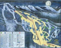
Marshall Mountain Ski Trail Map
Trail map from Marshall Mountain.
8 miles away
Near 5250 Marshall Canyon Rd, Missoula, MT
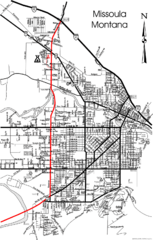
Missoula, Montana City Map
10 miles away
Near Missoula, MOntana
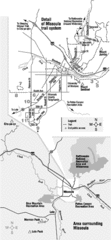
Missoula Trail System Map
Basic Map of Hike/Bike/Run Trail system for Missoula MT
10 miles away
Near Missoula, MT
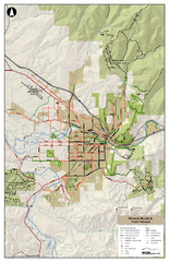
Missoula Bike Trails Map
Road and Mt. Bike trails with a bit of topology near Missoua
10 miles away
Near Missoula, MT
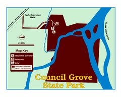
Council Grove State Park Map
Clearly marked map.
11 miles away
Near Council Grove State Park, MT, USA
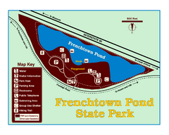
Frenchtown Pond State Park Map
Plan to bring everyone in the family to this day-use-only park for a whole afternoon of picnicking...
12 miles away
Near Frenchtown Pond State Park, MT, USA

 See more


 Explore Maps
 Map Directory
 click for
 Fullsize

0 Comments
New comments have been temporarily disabled.