
 Edit this map

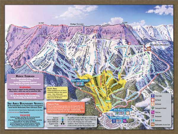
Bridger Bowl Ski Area Ski Trail Map
near Montana, United States

 See more

Nearby Maps
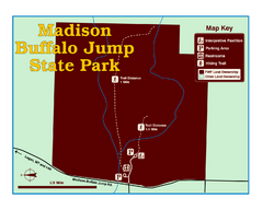
Madison Buffalo Jump State Park Map
You’ll find this day-use-only park seven graveled miles off Interstate 90 at the Logan exit...
27 miles away
Near Madison Buffalo Jump State Park, MT, USA
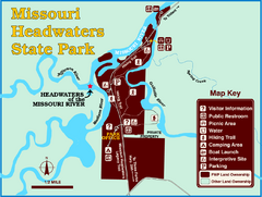
Missouri Headwaters State Park Map
This park encompasses the confluence of the Jefferson, Madison and Gallatin Rivers. The Lewis and...
30 miles away
Near Missouri Headwaters State Park, MT, USA
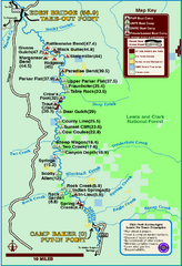
Smith River State Park Map
The Smith River is a unique 59-mile river corridor. Permits are required to float the stretch of...
31 miles away
Near Smith River State Park, MT, USA
Emigrant Montana towards Baldy and Emigrant Peak...
Emigrant, MT towards Baldy and Emigrant Peak
38 miles away
Near Emigrant, MT
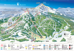
Moonlight Basin Ski Trail Map
Trail map from Moonlight Basin, which provides terrain park skiing. It has 8 lifts servicing 92...
44 miles away
Near Big Sky, Montana, United States
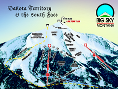
Big Sky Resort Dakota Territory Detail Ski Trail...
Trail map from Big Sky Resort, which provides terrain park skiing. It has 21 lifts servicing 150...
44 miles away
Near Big Sky, Montana, United States

 See more


 Explore Maps
 Map Directory
 click for
 Fullsize

0 Comments
New comments have been temporarily disabled.