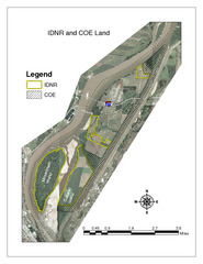
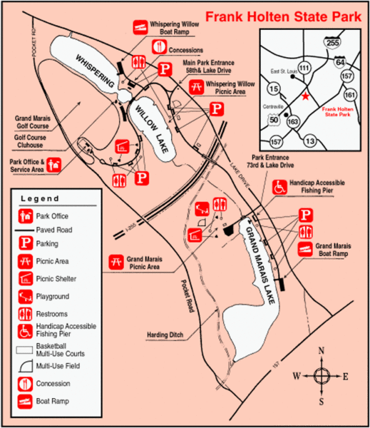
Frank Holten State Park, Illinois Site Map
near Frank Holten State Park, Illinois
See more
 See more
Nearby Maps

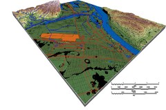
DEM SAUGET INDUSTRIAL PARK Map
OVERLAY OF TRIMBLE GPS VECTOR DATA OF SAUGET INDUSTRIAL PARK ONTO PAINTED DEM USING RGB COLOR MODEL...
4 miles away
Near SAUGET, IL

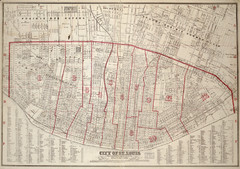
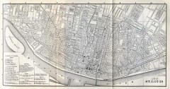
St. Louis - 1870 - Cadastral Map
6 miles away

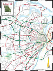
St. Louis, Missouri City Map
6 miles away
Near St. Louis, MIssouri

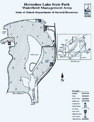
Horseshoe Lake State Park, Illinois Site Map
7 miles away
Near Horseshoe Lake State Park, Illinois

Antique map of St. Louis from 1885
Map of Saint Louis, Missouri from Appletons' General Guide to the United States and Canada...
7 miles away
Near st. louis, missouri

Horseshoe Lake State Park, Illinois Site Map
7 miles away
Near Horseshoe Lake State Park, Illinois

 click for
 Fullsize

0 Comments
New comments have been temporarily disabled.