
 Edit this map

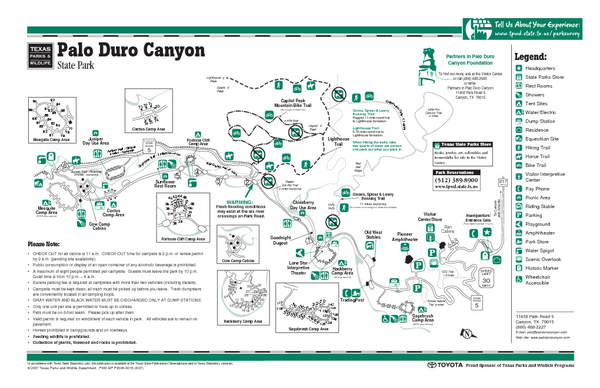
Palo Duro, Texas State Park Facility and Trail Map
near Palo Duro, Texas

 See more

Nearby Maps
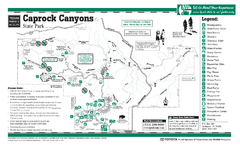
Caprock Canyon, Texas State Park Facility and...
11 miles away
Near Caprock Canyon, Texas
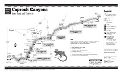
Caprock Canyon, Texas State Park Trail Map
11 miles away
Near Caprock Canyon, Texas
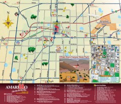
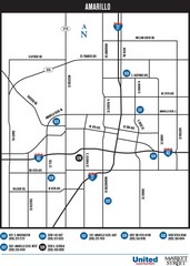
Attractions in Amarillo, Texas Map
Tourist map of Amarillo, Texas. Shows museums, sports facilities, and other attractions.
20 miles away
Near Amarillo, TX
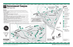
Government Canyon, Texas State Park Facility and...
84 miles away
Near Government Canyon, Texas
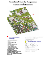
Texas Tech University Map
Campus Map of Texas Tech University. All buildings shown.
95 miles away
Near Lubbock, TX

 See more


 Explore Maps
 Map Directory
 click for
 Fullsize

0 Comments
New comments have been temporarily disabled.