
 Edit this map

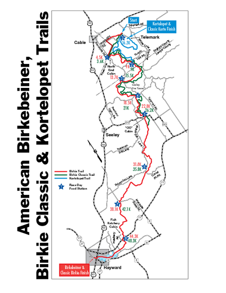
Birkebeiner Cross Country Ski Race Map
near Hayward, WI, US

 See more

Nearby Maps
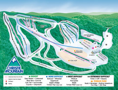
Christie Mountain Ski Area Ski Trail Map
Trail map from Christie Mountain Ski Area.
42 miles away
Near Weyerhaeuser, Wisconsin, United States
Amnicon Falls State Park Map
Marked trails, picnic sites, bridges, toilets, ect. make the hike around the beautiful Amnicon...
43 miles away
Near Amnicon Falls State Park, Wisconsin, USA
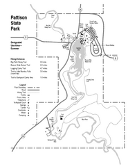
Pattison State Park Map
Great trails for a wonderfully relaxing summer vacation.
46 miles away
Near Pattison State Park, WI, USA
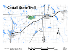
Cat Tail State Trail Map
Map marking trails, bike routes, shelter, toilets and more.
46 miles away
Near Cat Tail State Trail, WI, USA
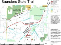
Saunders State Trail Map
Points of interest, lakes, roads, forests and more are marked on this map's key.
47 miles away
Near Saunders State Trail, WI, USA

 See more


 Explore Maps
 Map Directory
 click for
 Fullsize

0 Comments
New comments have been temporarily disabled.