
 Edit this map

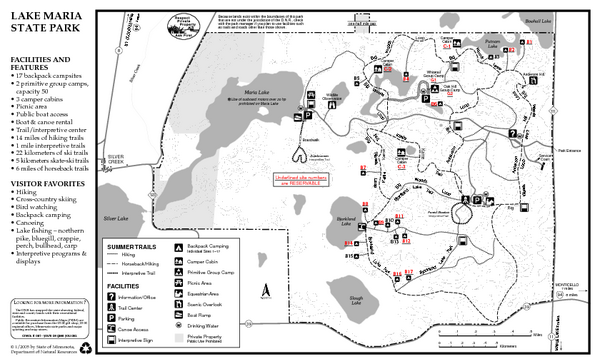
Lake Maria State Park Summer Map
near 11411 Clementa Ave NW, Monticello, MN
View Location
Summer seasonal map of park with detail of trails and recreation zones

 See more

Nearby Maps
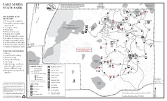
Lake Maria State Park Winter Map
Winter seasonal map of park with detail of trails and recreation zones
less than 1 mile away
Near 11411 Clementa Ave NW, Monticello, MN
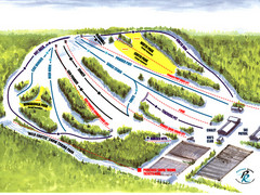
Powder Ridge Ski Area Ski Trail Map
Trail map from Powder Ridge Ski Area.
18 miles away
Near Kimball, Minnesota, United States
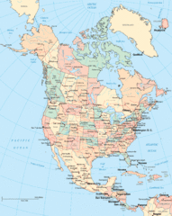
North America Map
Political map of North America. Shows states in US and provinces in Canada
27 miles away
Near North America
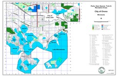
Orono City Park Map
29 miles away
Near Lake Minnetonka

 See more


 Explore Maps
 Map Directory
 click for
 Fullsize

0 Comments
New comments have been temporarily disabled.