
 Edit this map

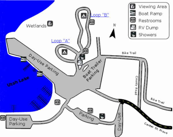
Utah Lake State Park Map
near Utah Lake State Park, UT, USA
View Location
Utah's largest freshwater lake provides fishing access for channel catfish, walleye, white bass, black bass, and several species of panfish. Spend an evening RV or tent camping, then powerboat, canoe, or sail the day away on Utah Lake.

 See more

Nearby Maps
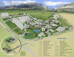
Utah Valley University Map
Campus map
4 miles away
Near Utah Valley University, 800 S University Ave...
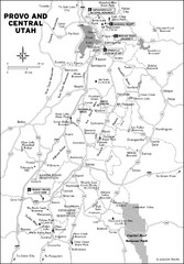
Provo, Utah City Map
4 miles away
Near Provo, Utah
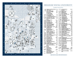
Brigham Young University Map
Campus Map of Brigham Young University in Utah. All buildings shown.
5 miles away
Near Provo, UT
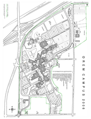
Utah Valley State University Map
Utah Valley State University. All areas shown.
5 miles away
Near Orem, Utah
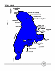
Utah Lake Map
5 miles away
Near Utah Lake Utah
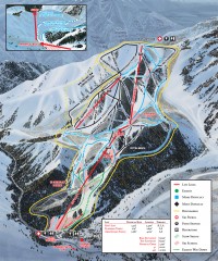
Sundance Ski Trail Map
Official ski trail map of Sundance ski area from the 2007-2008 season.
13 miles away
Near Sundance, Utah 84604

 See more


 Explore Maps
 Map Directory
 click for
 Fullsize

0 Comments
New comments have been temporarily disabled.