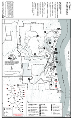
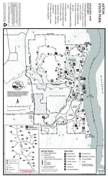
Afton State Park Winter Map
near 6959 Peller Avenue South, Hastings, MN
See more
 See more
Nearby Maps

Afton State Park Summer Map
Map of park with detail of trails and recreation zones
less than 1 mile away
Near 6959 Peller Avenue South, Hastings, MN

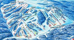
Afton Alps Ski Area Ski Trail Map
Trail map from Afton Alps Ski Area, which provides downhill, night, and terrain park skiing. It has...
less than 1 mile away
Near Afton, Minnesota, United States

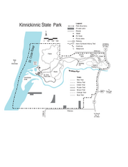
Kinnickinnic State Park Map
Map detailing hiking routes and stops along the way.
3 miles away
Near Kinnickinnic State Park, WI, USA

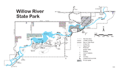
Willow River State Park Map
Easily read map with detailed markings.
12 miles away
Near Willow River State Park, WI, USA

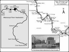
Upper Mississippi River Mile 811 to Mile 1347 Map
Historical Map from book "Mississippi River-Historical Sites and Interesting Places
12 miles away
Near Minneapolis, MN

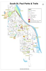
South St. Paul Parks and Trails Map
Park and trail map of South St. Paul, Minnesota.
13 miles away
Near South St. Paul, Minnesota

 click for
 Fullsize

0 Comments
New comments have been temporarily disabled.