
 Edit this map

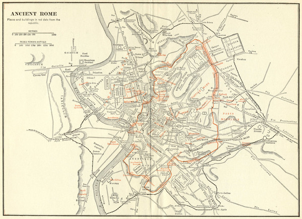
Ancient Rome Map
near Rome, Italy
View Location
Shows places and buildings dating fromt he republic in red superimposed on modern day Rome

 See more

Nearby Maps
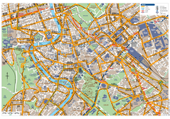
Rome Centro Transportation Map
Shows streets, major buildings, and metro stops of central Rome, Italy
less than 1 mile away
Near Rome, Italy
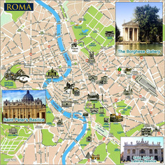
Rome Tourist Map
Tourist map of central Rome, Italy. Shows major landmarks represented by sketches. Also shows...
less than 1 mile away
Near Rome, Italy
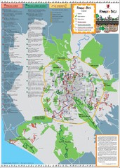
Rome Biking Map
Biking route map of the area around Rome, Italy. Shows biking routes in roads and in parks.
less than 1 mile away
Near Rome, Italy

Rome Province Map
Road and physical map of the province of Rome, Italy. Shows towns represented by orange blocks...
less than 1 mile away
Near Rome, Italy

Rome Buildings Map
Map of Rome, Italy center. Shows major streets and buildings. Neighborhoods also shown.
less than 1 mile away
Near Rome, Italy
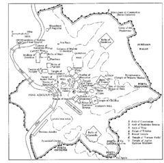
Rome Italy Ruins Map
Tourist Map showing the ruins and tourist sites for Rome, Italy.
less than 1 mile away
Near Rome, Italy

 See more


 Explore Maps
 Map Directory
 click for
 Fullsize


0 Comments
New comments have been temporarily disabled.