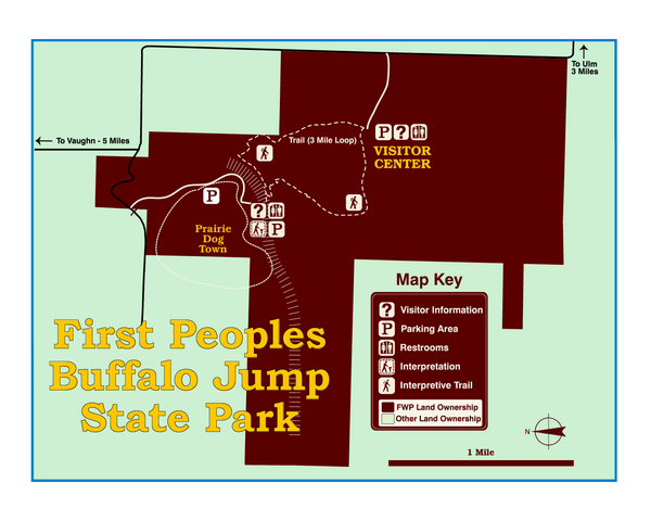
First People's Buffalo Jump State Park Map
near Great Falls, MT, USA
View Location
A visitor center and interpretive trails tell the story of this prehistoric bison kill site, one of the largest in the United States. For over six hundred years, Indians stampeded buffalo over the mile-long cliff. Now, the top of the jump gives you panoramic views of the Rocky Mountain Front, the Missouri River valley, and the buttes and grasslands that characterized this High Plains setting. Plan at least a two-hour stop in this day-use-only park.
Nearby Maps
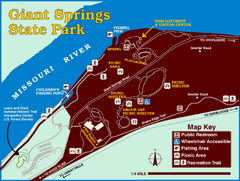
Giant Springs State Park Map
Set aside a whole afternoon to experience this scenic and historic freshwater springs site. First...
15 miles away
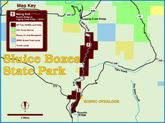
Sluice Boxes State Park Map
Remains of mines, a railroad, and historic cabins line Belt Creek as it winds through a beautiful...
19 miles away
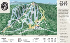
Showdown Ski Trail Map
Official ski trail map of Showdown ski area
44 miles away
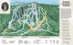
Showdown Ski Area Ski Trail Map
Trail map from Showdown Ski Area.
45 miles away
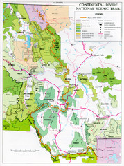
Continental Divide Scenic Trail Map
Guide to the Montana portion of the Continental Divide trail
48 miles away
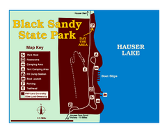
Black Sandy State Park Map
Simple but clear map of State Park.
50 miles away

 click for
 Fullsize

0 Comments
New comments have been temporarily disabled.