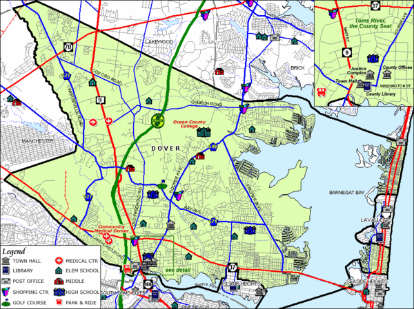
Tom's River, New Jersey City Map
near Tom's River, New jersey
See more
 See more
Nearby Maps

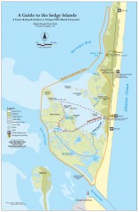
Island Beach State Park Canoe and Kayak map
Canoe and kayak guide to the Sedge islands in Island Beach State Park near Barnegat Bay, NJ. The...
10 miles away
Near Barnegat Bay, NJ

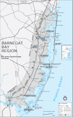
Barnegat Bay region trail map
Trail map of the Barnegat Bay region of New Jersey.
11 miles away
Near barnegat bay, nj

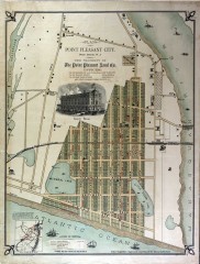
Antique map of Point Pleasant from 1880
Antique map of Point Pleasant, New Jersey from c. 1880.
12 miles away
Near point pleasant, new jersey

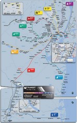
New Jersey Meadowlands Transportation Guide Map
13 miles away
Near New Jersey

New Jersey Airports Map
13 miles away
Near New Jersey

New Jersey Counties Map
13 miles away
Near New Jersey

 click for
 Fullsize

0 Comments
New comments have been temporarily disabled.