
 Edit this map

Hanover College Campus Map
near 359 LaGrange Road, Hanover, IN
View Location
Campus map of Hanover College in Hanover, IN. Shows all buildings including large number of fraternities and sororities.

 See more

Nearby Maps
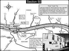
Ohio River at Madison, IN and Milton, KY Map
This is a page from the Ohio River Guidebook. The map shows important information for boaters and...
8 miles away
Near Madison, IN
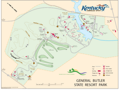
General Butler State Resort Park Map
Map of trails, facilities and golf course in General Butler State Resort Park.
18 miles away
Near Carrollton, KY

Charlestown State Park Map
20 miles away
Near Charlestown, Indiana 47111
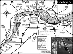
Ohio River at Louisville, KY & Southern...
This is from the Ohio River Guidebook
34 miles away
Near Louisville, KY
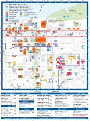
Downtown Louisville Map
Detailed map of gas stations, car rentals, and basic information of Louisville.
35 miles away
Near Downtown Louisville, KY, USA
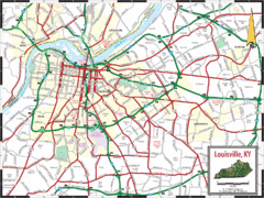
Louisville, Kentucky City Map
35 miles away
Near Louisville, Kentucky

 See more


 Explore Maps
 Map Directory
 click for

 Fullsize


0 Comments
New comments have been temporarily disabled.