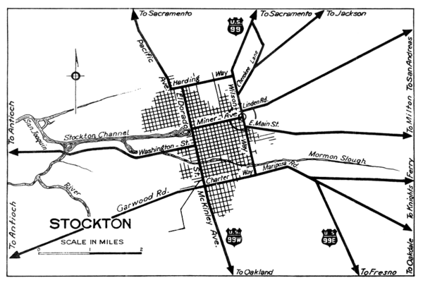
Stockton, California City Map
near Stockton, California
See more
 See more
Nearby Maps

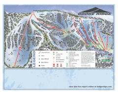
Dodge Ridge Ski Area Ski Trail Map
Trail map from Dodge Ridge Ski Area, which provides downhill, nordic, and terrain park skiing. It...
9 miles away
Near Pinecrest, California, United States

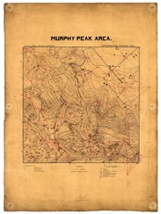
Murphy Peak Area Survey Map
Topographic geology map of Murphy Peak area, California. L.S.J.U. Geological Survey, 1911...
19 miles away
Near Murphy Peak, California

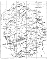
Yosemite Park Map (before development)
Map of Yosemite Park before valley development, showing only Portal Road
22 miles away
Near Yosemite National Park, CA, US

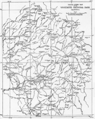
1914 Yosemite National Park Map
22 miles away
Near yosemite national park

Yosemite National Park Guide Map
Guide map of Yosemite National Park
23 miles away
Near yosemite national park

Yosemite Valley Automobile Guide Map 1963
Yosemite Valley and Vicinity with Elevations
24 miles away
Near Yosemite National Park, CA, US

 click for
 Fullsize

0 Comments
New comments have been temporarily disabled.