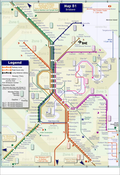
Brisbane Rail Map
near Brisbane, Australia
See more
 See more
Nearby Maps

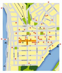
Brisbane City Map
City map of Brisbane with reference to architecture.
less than 1 mile away
Near Brisbane, Australia

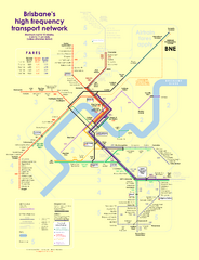
Brisbane frequent service guide Map
less than 1 mile away
Near brisbane, qld, australia

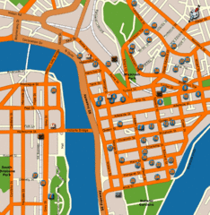
Brisbane Hotel Map
less than 1 mile away
Near Brisbane

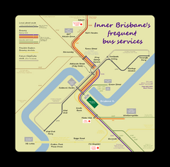
Inner Brisbane bus guide Map
less than 1 mile away
Near Brisbane, Australia

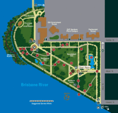
Brisbane City Botanic Gardens Map
Map of Brisbane City Botanic Gardens with suggested walking trail
less than 1 mile away
Near Brisbane, Australia

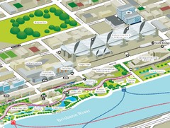
Brisbane South Bank Tourist Map
Tourist map of the Brisban South Bank Parklands. Shows Conference Centre and surrounding hotels...
less than 1 mile away
Near South Bank, Brisbane, Australia

 click for
 Fullsize

0 Comments
New comments have been temporarily disabled.