Edit this map

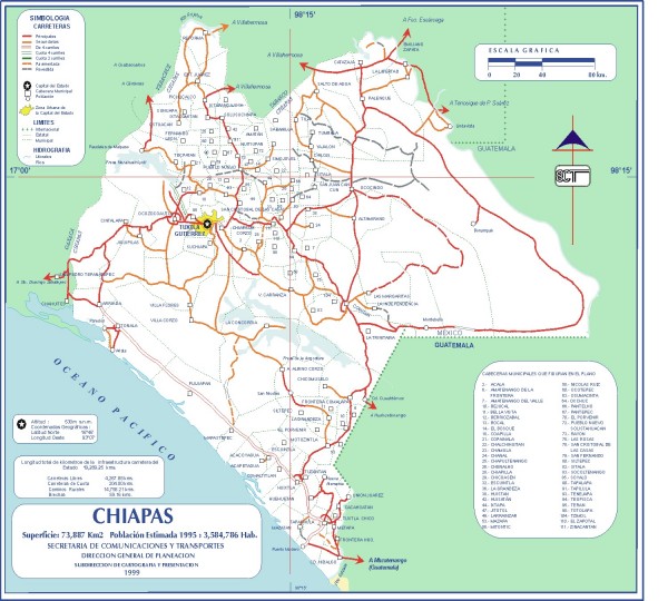
Chiapas Road Map

near Totolapa, Mexico

View LocationView Map

16.583552354072 -92.669677734375 7 satellite
Nearest Map »  Fullsize
1500 × 1350500 KBJPG

Road map of the Mexican state of Chiapas. Borders the Pacific Ocean and Guatemala. Shows roads and major towns.

Created 1999
From mexicochannel.net

scott added
Feb 5, 2008

Rating
rated 1 by 2 people

See an error? Report it.

Keywords

reference, mexico, state, road, acteal

0 Comments

New comments have been temporarily disabled.
See more

Nearby Maps

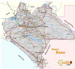
Chiapas Tourist Map

Chiapas Tourist Map

Chiapas, Mexico

32 miles away

Near Chiapas
Keywords: tourism
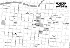
Downtown Tuxtla Gutierrez Map

Downtown Tuxtla Gutierrez Map

Downtown Tuxtla Gutierrez

32 miles away

Near Tuxtla Gutierrez, Mexico
Keywords: reference
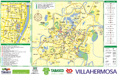
Villahermosa tourist map

Villahermosa tourist map

99 miles away

Near villahermosa
Keywords: tourism
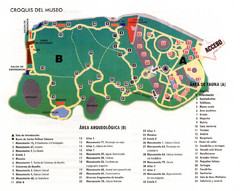
La Venta Park Map

La Venta Park Map

100 miles away

Near La Venta Park
Keywords: tourism, parks
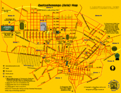
Quetzaltenango Street Map

Quetzaltenango Street Map

Street map of Quetzaltenango, Guatemala

143 miles away

Near Quetzaltenango, Guatemala
Keywords: reference, city, street
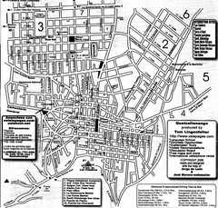
Quetzaltenango City Map

Quetzaltenango City Map

Large and detailed map.

143 miles away

Near Quetzaltenango
See more