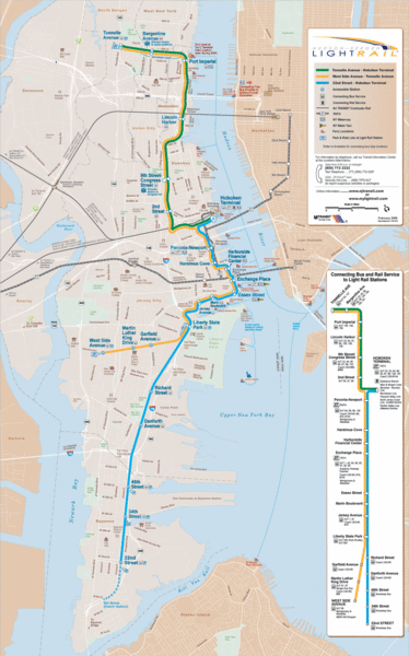
Hudson-Bergen Lightrail Map
near Port Imperial, NY, USA
See more
 See more
Nearby Maps

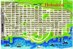
Hoboken Walking Tour map
Walking tour map of Hoboken, NJ. Shows points of interest.
less than 1 mile away
Near hoboken, nj

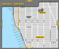
Chelsea Midtown New York City Hotel Map
1 mile away
Near Chelsea Park, NYC

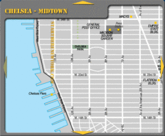
Chelsea Midtown New York City Map
1 mile away
Near Chelsea Park, NYC

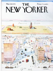
A View of the World from 9th Avenue (Map)
Famous Saul Steinberg New Yorker Magazine cover from 1976 depicts a New Yorker's egocentric...
1 mile away
Near 9th Ave, New York City

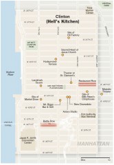
Hells Kitchen tourist map
Detailed tourist map of the Hells Kitchen neighborhood of Manhattan, New York
2 miles away
Near manhattan, new york

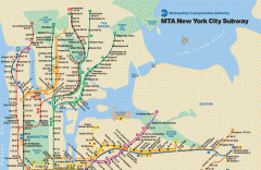
New York City Subway Map
Official MTA map of the NYC subway system... note not drawn to scale.
2 miles away
Near New York, NY

 click for
 Fullsize


0 Comments
New comments have been temporarily disabled.