
 Edit this map

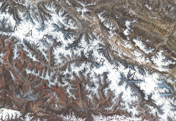
Karakoram Range Map
near Hushe, Pakistan
View Location
Shows major peaks and glaciers in the Karakoram mountain range in Pakistan and China. 2nd highest mountain in the world K2 (28,250 ft) is in this range.

 See more

Nearby Maps
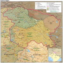
Kashmir Region Map
99 miles away
Near Kashmir, India
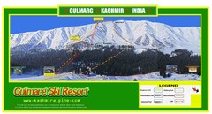
Gulmarg Trail Map
166 miles away
Near Gulmarg, Kashmir, India
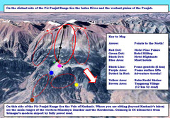
Gulmarg Ski Trail Map
Trail map from Gulmarg, which provides downhill skiing.
167 miles away
Near Gulmarg, Kashmir, India
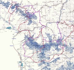
Kongur Expedition Map
Route map of 2004 expedition to summit the highest peak of China Pamir and Kun-Lun, Kongur 7719m
210 miles away

 See more


 Explore Maps
 Map Directory
 click for
 Fullsize


1 Comments
these mountains are beautiful...you need to go and see them