
 Edit this map

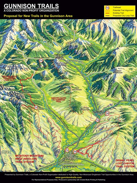
Gunnison Proposed Trails Map
near Gunnison, Colorado

 See more

Nearby Maps
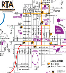
Gunnison RTA Bus Route Map
11 miles away
Near Gunnison, Colorado
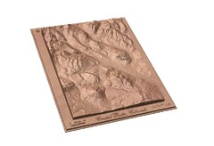
Carved Wooden Map of Crested Butte, Colorado by...
Crested Butte, CO Carved by CarvedMaps.com
12 miles away
Near Crested Butte
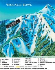
Crested Butte Mountain Resort Ski map - Teocalli...
Inset of the official Crested Butte trail map showing the experts-only Teocalli Bowl.
13 miles away
Near Mt. Crested Butte, CO
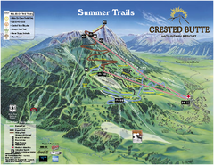
Crested Butte Mountain Resort Summer Trail Map
Official Crested Butte Mountain Resort summer trail map. Created by James Niehues.
13 miles away
Near Mt. Crested Butte, CO
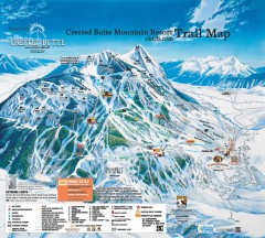
Crested Butte Mountain Resort Ski Trail Map
Official trail map of Crested Butte Mountain Resort, 2006-07 season.
14 miles away
Near Mt. Crested Butte, CO
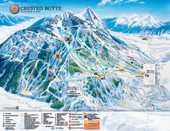
Crested Butte Mountain Resort Ski Trail Map
Trail map from Crested Butte Mountain Resort, which provides downhill, nordic, and terrain park...
14 miles away
Near Crested Butte, Colorado, United States

 See more


 Explore Maps
 Map Directory
 click for
 Fullsize

0 Comments
New comments have been temporarily disabled.