
 Edit this map

Prague Metro 2008 Map
near prague

 See more

Nearby Maps

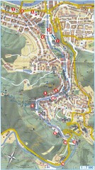
Prague Old Town Map
Tourist map of Old Town Prague, Czech Republic
less than 1 mile away
Near Prague, Czech Republic

Prague City Center Map
Street map of Prague's city center. Shows tourist points of interest including landmark...
less than 1 mile away
Near Prague, Czech Republic
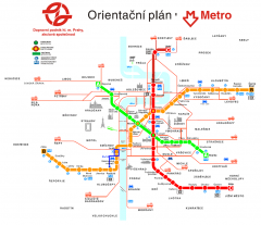
Prague Metro and Strret Car Map
Overview of Prague's metro and bus lines. Date unknown.
less than 1 mile away
Near Prague, CZ
Transportation near Prague Map
Locations and destinations of transportation in and near Prague
less than 1 mile away
Near Near Prague
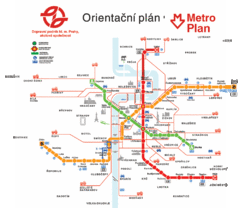
Prague Metro Map
less than 1 mile away
Near Prague
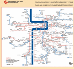
Prague Night Public Bus Tram Map
less than 1 mile away
Near Prague, Czech Republic

 See more


 Explore Maps
 Map Directory
 click for
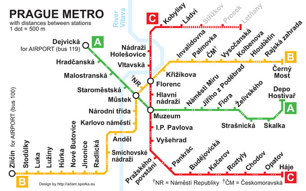
 Fullsize


0 Comments
New comments have been temporarily disabled.