
 Edit this map

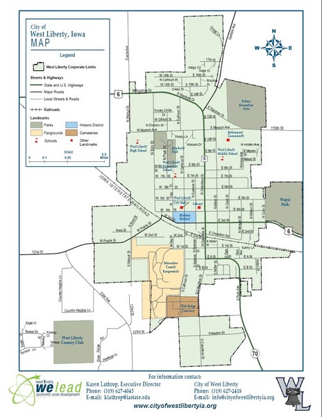
West Liberty City Map
near West Liberty, Iowa

 See more

Nearby Maps
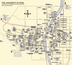
University of Iowa Map
Campus Map of the University of Iowa. All buildings shown.
15 miles away
Near Iowa City, Iowa
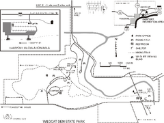
Wildcat Den State Park Map
Map of trails and facilities at Wildcat Den State Park.
21 miles away
Near muscatine, IA
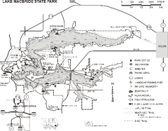
Lake MacBride State Park Map
Map of hiking and biking trails, lake depths and boating and park facilities in Lake MacBride State...
22 miles away
Near solon, IA
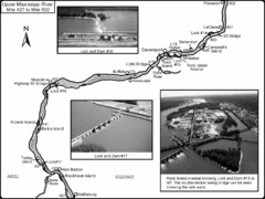
Upper Mississippi River Mile 427 to Mile 502 Map
Historical Map from book "Mississippi River-Historical Sites and Interesting Places
25 miles away
Near Davenport, IA
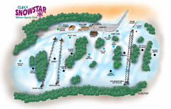
Ski Snowstar Ski Trail Map
Trail map from Ski Snowstar, which provides downhill and night skiing. It has 6 lifts servicing 14...
29 miles away
Near Taylor Ridge, Illinois, United States
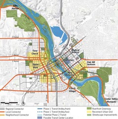
Cedar Rapids Tourist Map
35 miles away
Near Cedar Rapids

 See more


 Explore Maps
 Map Directory
 click for
 Fullsize


0 Comments
New comments have been temporarily disabled.