
 Edit this map

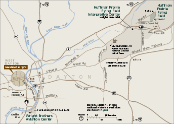
Dayton Aviation Heritage National Historical Park Official Map
near 16 South Williams Street Dayton, Ohio 45402
View Location
Official NPS map of Dayton Aviation Heritage National Historical Park in Ohio. Dayton Aviation Heritage National Historical Park, a four-unit park is located in and around Dayton, Ohio. The units include: The Wright Cycle Company Complex, consisting of The Wright-Dunbar Interpretive Center and Aviation Trail Visitor Center and Museum and The Wright Cycle Company; The Paul Laurence Dunbar House; Dayton History at Carillon Park; the Huffman Prairie Flying Field and Interpretive Center.

 See more

Nearby Maps
Dayton, Ohio City Map
less than 1 mile away
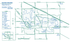
Sycamore State Park map
Detailed recreation map for Sycamore State Park in Ohio.
9 miles away
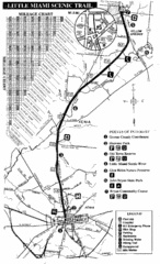
Little Miami Scenic Trail Map
Map of the Little Miami Scenic Trail biking route from Xenia, Ohio to Yellow Springs, Ohio. Shows...
14 miles away

Atrium County Map
Map of Atrium County, Ohio. Includes all roads and towns.
20 miles away
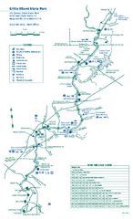
Little Miami State Park map
Detailed recreation map for Little Miami State Park and surrounding area in Ohio
20 miles away
Buck Creek Trail Map
27 miles away

 See more


 Explore Maps
 Map Directory
 click for
 Fullsize


0 Comments
New comments have been temporarily disabled.