
 Edit this map

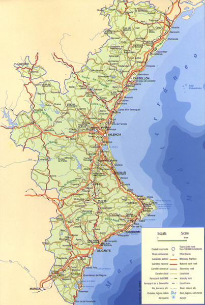
Valencia Spain Road Map
near Valencia, Spain
View Location
Map of roads to Valencia, Spain and surrounding areas. Cities, Railroads, airports and rivers also marked

 See more

Nearby Maps
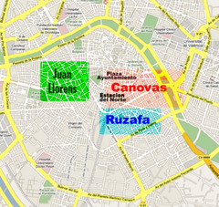
Valencia Guide Map
0 miles away
Near Valencia
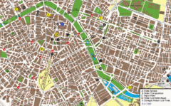
Valencia Street Map
Street map of central Valencia, Spain. Shows some hotels. Scanned.
less than 1 mile away
Near Valencia, Spain
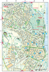
Alicante Tourist Map
Tourist map of central Alicante, Spain. Shows points of interest.
78 miles away
Near Alicante, Spain
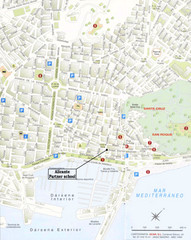
Alicante City Map
Street map for Alicante, Spain with parking and places of interest identified.
78 miles away
Near Alicante, Spain
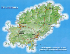
Ibiza Island Map
Map of island with detail of main towns and cities
101 miles away
Near Isla de Ibiza, Spain
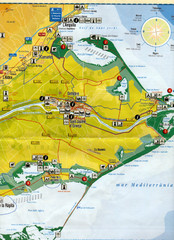
Deltebre Spain Tourist Map
Tourist Map of Deltebre, Spain and surrounding areas including the park features. Map is in...
104 miles away
Near Deltebre

 See more


 Explore Maps
 Map Directory
 click for
 Fullsize


1 Comments
EL CANAL DE PINEDO,LA PLAYA PINEDO,VALENCIA PINEDO CENTRAL PINEDO PERGAMINO,PINEDO CHACO ARGENTINA PINEDO ALAVA EUSKADI,PINEDO,VIA PINEDO CLAUT FRIULI VENEZIA GIULIA UDINE PORDENONE ITALIA,LAS AVDAS PINEDO EN ARGENTINA,BRASIL PARAGUAY,LA PLAZA PINEDO Y EL MONUMENTO,EL COLEGIO E INSTITUTO PINEDO CONCEPCIÓN SAN LORENZO PARAGUAY. LAS REFERENCIAS PINEDENSES DESDE UBICACIONES TOPONIMICAS POR RECORD SON MATERIALIZACIONES EN VIVO.