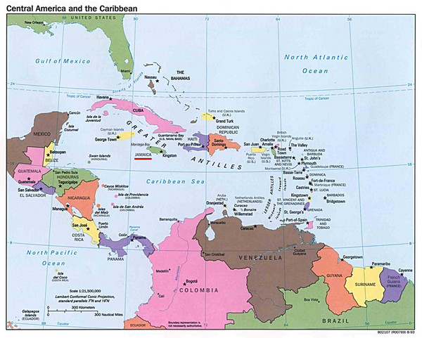
Central American and Caribbean Islands Map
near Caribbean
View Location
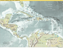
Map shows countries, capital cities and major cities of Central America, Caribbean and the northern part of South America in a color map.
See more
 See more
Nearby Maps

Overview map of Central America and the Caribbean
Shows the entire Caribbean region with names of islands/countries and major towns/cities.
142 miles away
Near El Cajuil, Dominican Republic

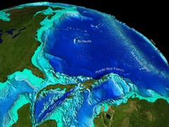
Caribbean Sea Bathymetry Map
174 miles away
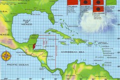
Belize Hurricane Tracking Map
Hurricane Tracking Map for Belize, Central America. Includes warning flags and their meanings.
205 miles away
Near Belize, Central America

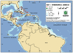
Intertropical Americas Map
Map of the tropical Americas from the top of South America to the Southern United States. Includes...
230 miles away
Near Central America

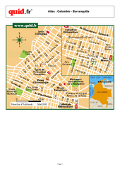
Barranquilla City Map Puerta de Oro
City map of downtown Barranquilla Puerta de Oro
247 miles away
Near Barranquilla, Colombia

 click for
 Fullsize


0 Comments
New comments have been temporarily disabled.