Paris Historical Map
near Paris, France
View Location
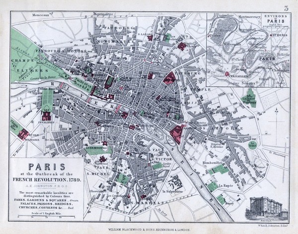
Map of Paris at the Outbreak of the French Revolution in 1789 with colors denoting parks and places of interest. Map shows street level detail
See more
 See more
Nearby Maps

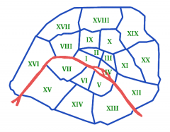
Arrondissements de Paris Map
Les arrondissements de Paris, du 1er au 20ème. (The boroughs of Paris, 1 through 20).
0 miles away
Near Paris, France

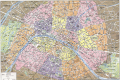
Arrondissements de Paris Map
City map shows 20 arrondissements of Paris, France.
0 miles away
Near Paris, France

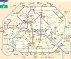
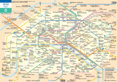
Paris Bus Route Map (French)
0 miles away
Near Paris, France

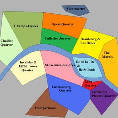
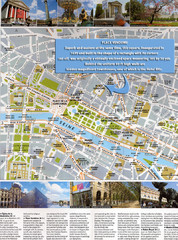
Paris Attraction Guide Map
The main attractions for sightseers in Paris, France.
0 miles away
Near Paris

 click for
 Fullsize


0 Comments
New comments have been temporarily disabled.