
 Edit this map

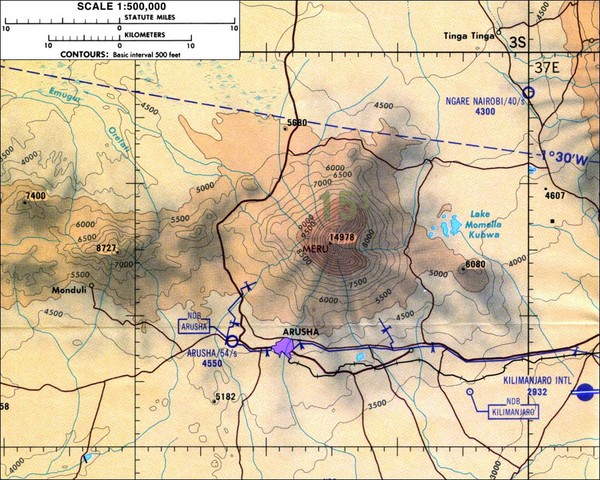
Mount Meru Topographic Map
near Arusha, Tanzania

 See more

Nearby Maps
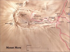
Mount Meru Physical Map
5 miles away
Near 3.2° S, 36.7° E
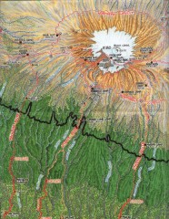
Kilimanjaro Climbing Route Map
Hand-drawn map shows major climbing routes on the southern side of Mt. Kilimanjaro, Tanzania...
43 miles away
Near Mt. Kilimanjaro, Tanzania
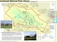
Amboseli National Park Map
Park map of Amboseli National Park, Kenya, home of elephants.
54 miles away
Near Amboseli National Park, Kenya
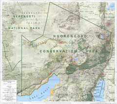
Ngorongoro Conservation Area Map
97 miles away
Near Ngorongoro
Nguruman Mountain Map
115 miles away
Near Nguruman

 See more


 Explore Maps
 Map Directory
 click for
 Fullsize


0 Comments
New comments have been temporarily disabled.