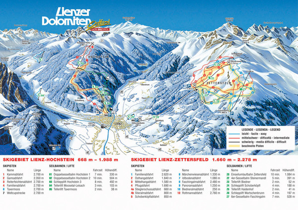
Lienz Austria Ski Map
near Lienz, Austria
View Location
Trail map for Lienz ski resort in Austria. Lifts, runs, elevations and amenities marked on map.
See more
 See more
Nearby Maps

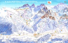
Alta Pusteria Ski Trail Map
24 miles away

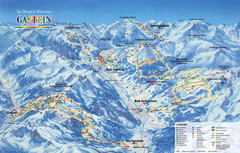
Gastein Ski Trail Map
Ski trail map of the Gastein Valley in Austria. Shows lift systems from Bad Gastein, Bad...
26 miles away
Near Bad Gastein, Austria

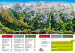
Alta Pusteria Summer Map
Panoramic summer hiking map of the Alta Pusteria, Italy, in the South Tyrol. Shows towns...
33 miles away
Near Alta Pusteria, Italy

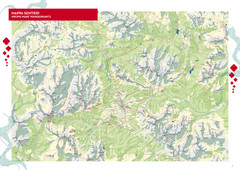
Cortina d'Ampezzo Hiking Map
Summer hiking map of the Cortina d'Ampezzo, Italy area in the heart of the Dolomite Mountains...
35 miles away
Near Cortina d'Ampezzo, Italy

Tramonti di Sopra Tourist Map
Tourist map of town and surrounding area of Tramonti di Sopra, Italy. Drawing shows streets...
36 miles away
Near Tramonti di Sopra, Italy

Saalbach and Hinterglemm Ski Trail map
Official ski trail map of Saalbach and Hinterglemm area from the 2006-2007 season. In German.
38 miles away
Near Saalbach, Austria

 click for
 Fullsize


0 Comments
New comments have been temporarily disabled.