
 Edit this map

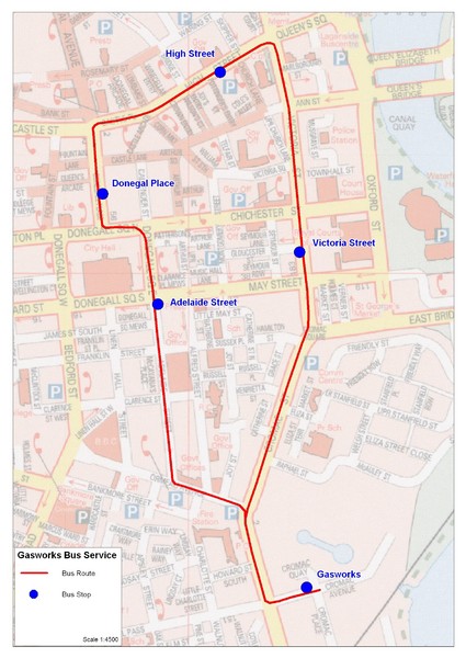
Gasworks/Belfast city centre shuttle Bus Map
near belfast
View Location
Shuttle Bus service map between the Gasworks Estate and Belfast city centre.

 See more

Nearby Maps
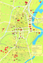
Belfast Tourist Map
Tourist map of center of Belfast, Northern Ireland, UK. Major buildings highlighted.
0 miles away
Near Belfast, Northern Ireland, UK
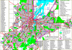
Belfast Map
0 miles away
Near Belfast
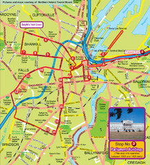
Belfast Bus Tour Map
0 miles away
Near Belfast
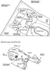
Odyssey Complex Public Service Attraction Visitor...
Odyssey complex site map, displaying the locations of all attractions, restaurants, stores...
less than 1 mile away
Near Belfast, Ireland
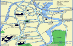
Belfast City Map
City map of Belfast with tourist information
less than 1 mile away
Near Belfast, Ireland

 See more


 Explore Maps
 Map Directory
 click for
 Fullsize


0 Comments
New comments have been temporarily disabled.