
 Edit this map

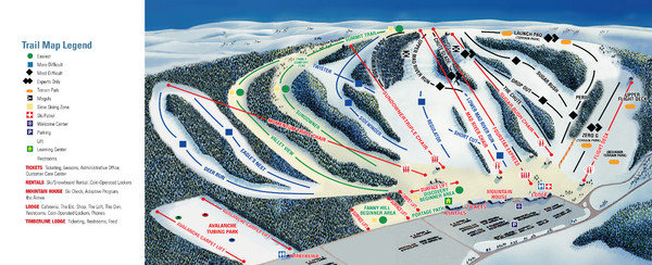
Mad River Mountain Trail Map
near 100 Snow Valley Rd, Zanesfield, OH

 See more

Nearby Maps
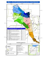
Ohio EPA Subwatersheds Boundaries in Darby...
Map shows watersheds by colors for West Central Ohio
5 miles away
Near Columbus, Ohio
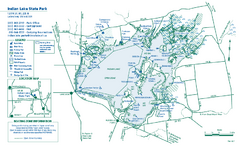
Indian Lake State Park map
Detailed recreation map for Indian Lake State Park in Ohio
16 miles away
Near Lakeview, OH 43331
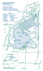
Buck Creek State Park map
Detailed recreation map for Buck Creek State Park in Ohio
24 miles away
Near Springfield, OH 45502
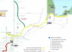
Buck Creek Trail Map
25 miles away
Near Buck Creek, Springfield, OH
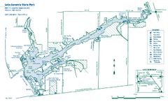
Lake Loramie State Park map
Detailed recreational map for Lake Loramie State Park in Ohio
34 miles away
Near Minster, Ohio 45865-9311
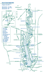
Alum Creek State Park map
Recreational map for Alum Creek State Park in Ohio
38 miles away
Near delaware, ohio 43015

 See more


 Explore Maps
 Map Directory
 click for
 Fullsize


0 Comments
New comments have been temporarily disabled.