
 Edit this map

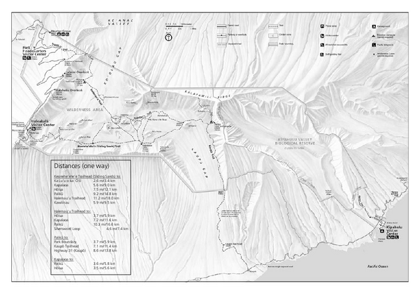
Haleakala National Park Official Park Map
near Haleakala National Park
View Location
Official NPS map of Haleakala National Park in Hawaii. Map shows all trails and information. Haleakala National Park is open year-round, 24 hours a day, 7 days a week, except for severe weather closures.

 See more

Nearby Maps
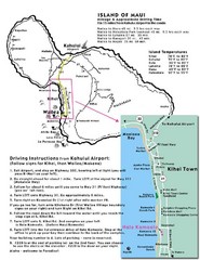
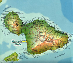
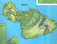
Maui Tourist Map
13 miles away
Near Maui
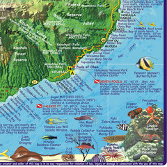
Maui, Hawaii Diving Map
13 miles away
Near Maui, Hawaii
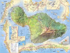
Maiu Detailed Street Map
Detailed map of Maui with insets for major towns.
14 miles away
Near Maui, HI
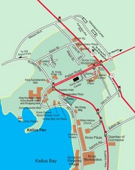
Kailua Bay, Hawaii Tourist Map
14 miles away
Near Kailua Bay

 See more


 Explore Maps
 Map Directory
 click for
 Fullsize


0 Comments
New comments have been temporarily disabled.