
 Edit this map

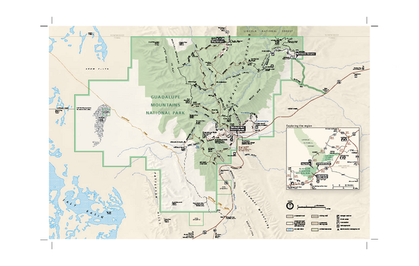
Guadalupe Mountains National Park Official Park Map
near Guadalupe Mountains National Park
View Location
Official NPS map of Guadalupe Mountains National Park in Texas. Guadalupe Mountains National Park is open year-round and offers a variety of outdoor activities including backpacking, camping, and hiking. While most trails and both of the park's campgrounds are available for use anytime, park facilities have posted hours, and several park locations are designated as day-use only.

 See more

Nearby Maps
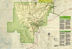
Guadalupe Mountains National Park Map
Map of Guadalupe Mountains National Park, year unknown. Scanned.
2 miles away
Near Guadalupe Mountains National Park
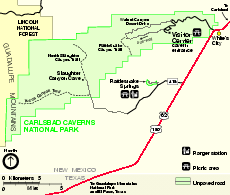
Carlsbad Caverns National Park Official Map
Official NPS map of Carlsbad Caverns National Park in New Mexico. Map shows all areas. Carlsbad...
25 miles away
Near Carlsbad Caverns National Park
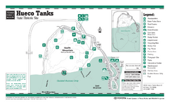
Hueco Tanks, Texas State Park Facility and Trail...
69 miles away
Near Hueco Tanks, Texas
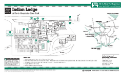
Indian Lodge, Texas State Park Location and Room...
84 miles away
Near Indian Lodge, Texas state park
Balmorhea State Park Facility Map
92 miles away
Near Balmorhea, Texas
Davis Mountains, Texas State Park Map
92 miles away
Near Davis Mountains, Texas

 See more


 Explore Maps
 Map Directory
 click for
 Fullsize


0 Comments
New comments have been temporarily disabled.