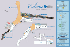
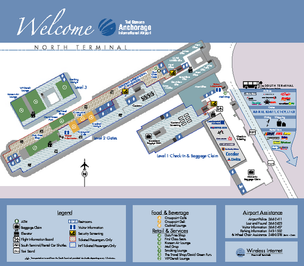
Ted Stevens Anchorage International Airport - North Terminal Map
near Ted Stevens Anchorage International Airport
View Location
Airport Map of Ted Stevens Anchorage International Airport in Alaska. Map shows North Terminal and facilities.
See more

 See more
Nearby Maps

Ted Stevens Anchorage International Airport...
Official map of Ted Stevens Anchorage International Airport - South Terminal. Shows all concourses...
less than 1 mile away
Near Ted Stevens Anchorage International Airport

Alaska Railroad ma Map
Map of alaska normal gauga railroad. Licensed on Creative Commons Share Alike 3.0 license
3 miles away
Near Anchorage

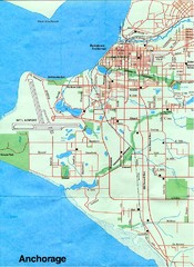
Anchorage Alaska Map
4 miles away
Near Anchorage Alaska

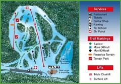
Hilltop Ski Area Ski Trail Map
Trail map from Hilltop Ski Area, which provides downhill, night, nordic, and terrain park skiing...
9 miles away
Near Alaska, United States

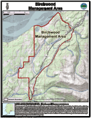
Birchwood, Alaska Tourist Map
24 miles away
Near Birchwood, Alaska

Chugach State Park Proposed Ski Area Map
Guide to Chugach State Park and proposed, but unbuilt, ski areas, now used for heli skiiing
26 miles away
Near Chugach State Park, AK, US

 click for
 Fullsize


1 Comments
I am proud that you have taken a few pictures from me into your site. Greetings. Lecleire Jacques from Belgium