
 Edit this map

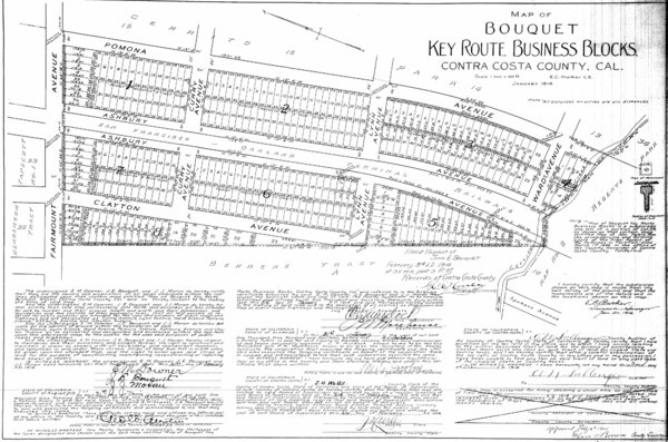
1914 Bouquet Key Route Business Block Map
near El Cerrito, CA, US
View Location
This map shows the borders of the Bouquet Business District in Contra Costa County, CA

 See more

Nearby Maps
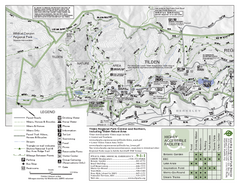
Tilden Regional Park Map - North
2 miles away
Near Tilden Regional Park
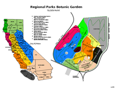
Tilden Regional Park and Native Plant Garden Map
2 miles away
Near Berkeley, CA
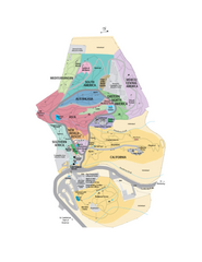
UC Botanical Gardens Map
Unfortunately this is a copy of an interactive map, so is slightly blurred at full size
2 miles away
Near Berkeley, CA
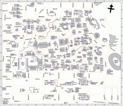
University of California at Berkeley Map
Campus map of the University of California at Berkeley. All buildings shown.
3 miles away
Near Berkeley, California
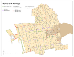
Bikeway Network of Berkeley, California Map
Map of current and proposed bike paths, lanes, and boulevards in Berkeley, California.
3 miles away
Near Berkeley, CA
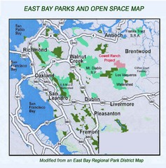
Eastbay Parks and Open Spaces Map
3 miles away
Near Richmond California

 See more


 Explore Maps
 Map Directory
 click for
 Fullsize


0 Comments
New comments have been temporarily disabled.