
 Edit this map

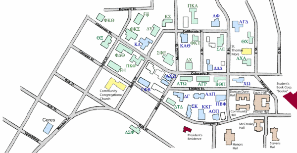
Washington State University's Greek Row Map
near Pullman, WA 99164

 See more

Nearby Maps
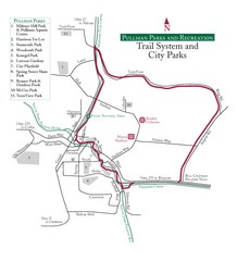
Pullman Parks Trail Map
Trails and pathways map
less than 1 mile away
Near 240 SE Dexter St, Pullman, WA
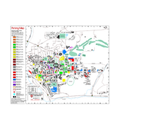
Washington State University Map
Washington State University Campus Map. All buildings shown.
less than 1 mile away
Near Pullman, Washington
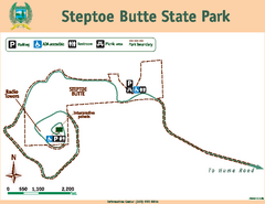
Steptoe Butt State Park Map
Map of park with detail of trails and recreation zones
22 miles away
Near Steptoe Butt State Park, WA
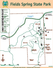
Fields Spring State Park Map
Map of park with detail of trails and recreation zones
45 miles away
Near 992 Park Road, Anatone, WA 99401
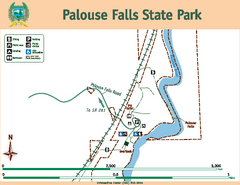
Palouse Falls State Park Map
Map of park with detail of trails and recreation zones
50 miles away
Near Palouse Falls State Park, WA
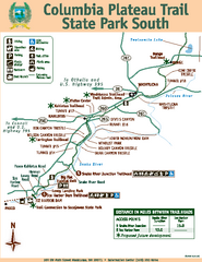
Columbia Plateau Trail State Park South Map
Map of park with detail of trails and recreation zones
54 miles away
Near 100 SW Main Street, Washtucna, WA 99371

 See more


 Explore Maps
 Map Directory
 click for
 Fullsize


0 Comments
New comments have been temporarily disabled.