Edit this map

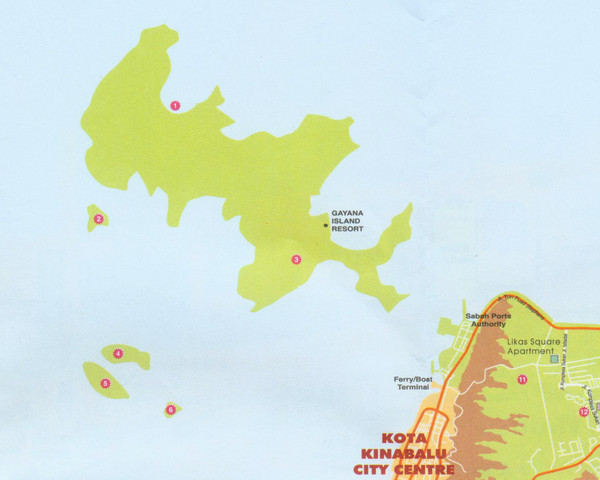
Tunku Abdul Rahman Marine Park Map

near Gaya Island, Malaysia

View LocationView Map

6.00228903345143 116.031074523926 12 satellite
Nearest Map »  Fullsize
1554 × 1242237 KBJPG

Map of the 5 islands of Tunku Abdul Rahman Marine Park in Kota Kinabalu

From etawau.com

landlubber added
Dec 13, 2008

Rating
no ratings

See an error? Report it.

Keywords

tourism, islands

0 Comments

New comments have been temporarily disabled.
.
See more

Nearby Maps

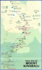
Mt Kinabalu Trail map

Mt Kinabalu Trail map

Trail map of route to summit of Mt. Kinabalu, the highest mountain in Malaysia at 4,101m. Please...

37 miles away

rated 4.5 by 2 people
Near Mt Kinabalu, Malaysia
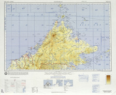
Sandakan Topo Map

Sandakan Topo Map

Topo map of region of Sabah, Malaysia

66 miles away

rated 4 by 1 person
Near Sabah, Malaysia
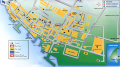
Labuan Town Tourist map

Labuan Town Tourist map

Tourist Map for the town of Labuan, Malaysia showing airports, bus stops and tourist information.

73 miles away

Near Labaun, Malaysia
Keywords: tourism
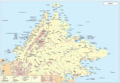
Sabah Map

Sabah Map

Map of Sabah, Malaysia

90 miles away

rated 4.25 by 4 people
Near Sabah, Malaysia
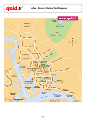
Bandar Seri Begawan Map

Bandar Seri Begawan Map

City map of capital

106 miles away

Near Bandar Seri Begawan, Brunei
Keywords: reference, city, town
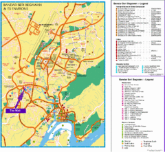
Bandar Seri Begawan Tourist Map

Bandar Seri Begawan Tourist Map

Tourist map of Bandar Seri Begawan, Brunei and environs. Shows foreign missions, hotels, shopping...

106 miles away

rated 3.5 by 2 people
Near Bandar Seri Begawan, Brunei
Keywords: tourism, brunei, city
See more