Edit this map

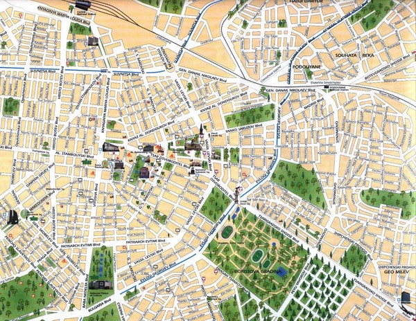
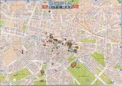
Sofia City Map

near Sofia, Bulgaria

View LocationView Map

42.6916467411631 23.3270645141602 13 satellite
Nearest Map »  Fullsize
1600 × 1236645 KBJPG

City map of central Sofia, Bulgaria. Shows main historical buildings and parks.

From sofiatravel.com

mapluvr added
Jul 9, 2008

Rating
rated 3 by 1 person

See an error? Report it.

Keywords

reference, city, bulgaria, denkoglou street 24, obzor, totleben, general kiril botev, sveta, nedelya, square, 5, sveta, nedelya, square, sofia, bulgaria

0 Comments

New comments have been temporarily disabled.
See more

Nearby Maps

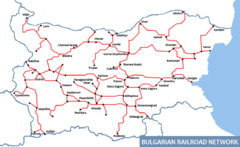
Bulgarian Railways Map

Bulgarian Railways Map

less than 1 mile away

Near Sofia bulgaria
Keywords: transportation
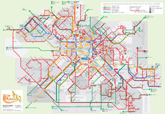
Public transport in Sofia Map

Public transport in Sofia Map

less than 1 mile away

Near sofia, bulgaria
Keywords: transportation
Central Sofia Tourist Map

Central Sofia Tourist Map

Tourist map of central Sofia, Bulgaria. Shows landmark buildings. Scanned.

less than 1 mile away

rated 4 by 2 people
Near Sofia, Bulgaria
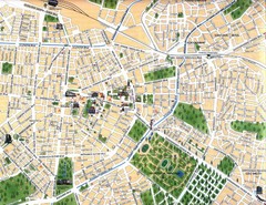
Sofia Center Map

Sofia Center Map

less than 1 mile away

Near Sofia, Bulgaria
Sofia Public Transit Map (Bulgarian)

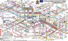
Sofia Public Transit Map (Bulgarian)

less than 1 mile away

Near Sofia, Bulgaria
Keywords: transportation
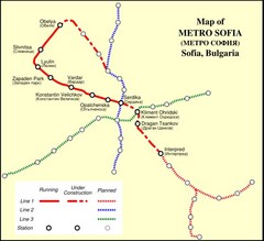
Sofia Metro Map

Sofia Metro Map

Metro.

less than 1 mile away

Near Sofia, Bulgaria
See more