Edit this map

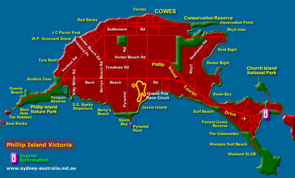
Phillip Island Tourist Map

near Phillip Island

View LocationView Map

-38.4853072394676 145.252304077148 11 satellite
Nearest Map »  Fullsize
780 × 47290 KBJPG

Places of interest.

From www.sydney-australia.biz

Added on
Aug 26, 2009

Rating
no ratings

See an error? Report it.

Keywords

tourism, beaches, tourist

0 Comments

New comments have been temporarily disabled.
See more

Nearby Maps

Phillip Island, Australia Beach Map

Phillip Island, Australia Beach Map

3 miles away

Near Phillip Island
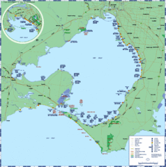
Port Phillip Bay Tourist Map

Port Phillip Bay Tourist Map

Tourist map of Port Phillip Bay. Shows points of interest.

35 miles away

rated 3 by 2 people
Near Port Phillip Bay, Victoria, Australia
Keywords: tourism, bay, road, beach
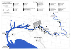
Yarra River Map

Yarra River Map

Map of Yarra River in Melbourne, Australia shows landings and landmarks.

49 miles away

Near Yarra, Victoria
Keywords: reference, river, city
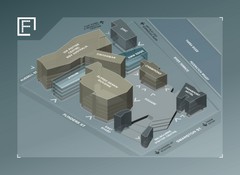
Federation Square Map

Federation Square Map

Map of Fed Square, Melbourne, Australia. Shows 3D views of buildings.

49 miles away

rated 1.33 by 3 people
Near Russell St, Melbourne, Australia
Melbourne Tram Map

Melbourne Tram Map

Map of Melbourne tram system

49 miles away

Near Melbourne, Australia
Melbourne Train & Tram Map

Melbourne Train & Tram Map

Map of Melbourne public transit

49 miles away

Near Melbourne, Australia
See more