
 Edit this map

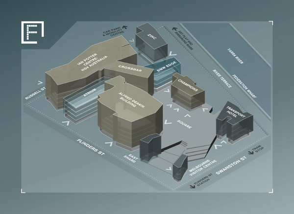
Federation Square Map
near Russell St, Melbourne, Australia

 See more

Nearby Maps
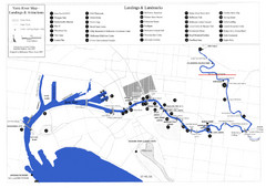
Yarra River Map
Map of Yarra River in Melbourne, Australia shows landings and landmarks.
less than 1 mile away
Near Yarra, Victoria
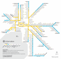
Melbourne Train Map
less than 1 mile away
Near Melbourne
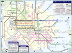
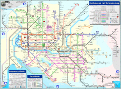
Melbourne Train & Tram Map
Map of Melbourne public transit
less than 1 mile away
Near Melbourne, Australia
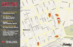
Downtown Melbourne Restaurant Map
less than 1 mile away
Near Bourke and Exhibition, Melbourne
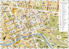
Melbourne Central District Tourist Map
Shows city of Melbourne Central District. Shows hotels, parking, trains stations, shopping/cafes...
less than 1 mile away
Near Melbourne, Australia

 See more


 Explore Maps
 Map Directory
 click for
 Fullsize


0 Comments
New comments have been temporarily disabled.