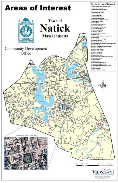
Natick Areas Of Interest Map
near Natick, Massachusetts
See more
 See more
Nearby Maps

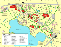
Wellesley College campus map
2008 Wellesley College campus map
2 miles away
Near Wellesley, Massachusetts

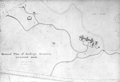
1870s Map of Wellesley College
General plan of college grounds, 1870s.
2 miles away
Near Wellesley, Massachusetts

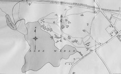
1899 Map of Wellesley College
After College Hall, the original site of Wellesley's faculty, students, classrooms, and...
2 miles away
Near Wellesley, Massachusetts

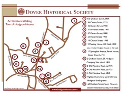
Dover Architectural Walking Map
Architectural walking tour of Hodgson Houses
5 miles away
Near 170 Dedham St, Dover, MA

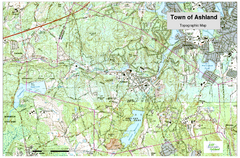
Ashland, MA - Topo Map
Map is provided by the town of Ashland, MA. See town's website for additional maps and...
6 miles away
Near Ashland, MA 01721 USA

 click for
 Fullsize


0 Comments
New comments have been temporarily disabled.