
 Edit this map

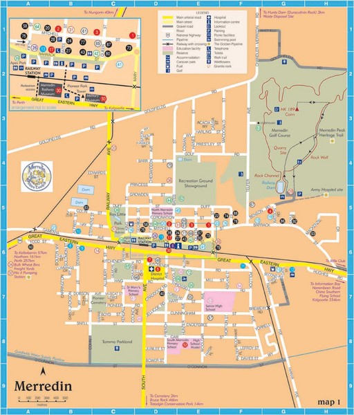
Merredin Map
near Merredin, Australia

 See more

Nearby Maps

Wheatbelt Central Western Australia Map
Map of the central wheatbelt area near Merredin, Western Australia
less than 1 mile away
Near Merredin, WA
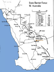
Western Australia State Barrier Fence Map
Map shows the Rabbit barrier fence built in 1901 in Burracoppin and Merredin just east of Perth.
13 miles away
Near Burracoppin, Australia
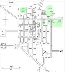
Bruce Rock Town Map
28 miles away
Near Bruce Rock, Australia
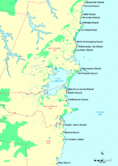
Illawarra, Australia Beach Tourist Map
133 miles away
Near Illawarra, Australia
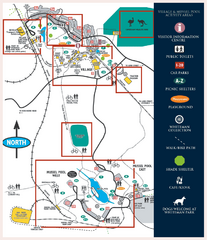
Whiteman Park Map
140 miles away
Near Whiteman Park
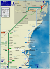
Illawarra Rail Map
Map of rail system throughout Illawarra, New South Wales South Coast, and Southern Highlands
144 miles away
Near Illawarra, Australia

 See more


 Explore Maps
 Map Directory
 click for
 Fullsize


0 Comments
New comments have been temporarily disabled.