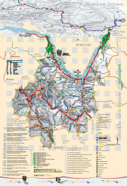
Majdanpek Tourist Map
near Majdanpek, Serbia
View Location
Tourist map of municipality of Majdanpek, Serbia. Shows points of interest. In Serbian.
See more
 See more
Nearby Maps

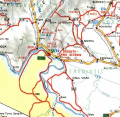
Mehedinti Map
37 miles away
Near Mehedinti, Romania

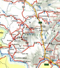
Caras-Severin Map
49 miles away
Near Caras-Severin, Romania

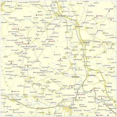
Monasteries in central Serbia (Levač area) Map
Levač is historic area in the central part of Serbia around Morava river.
52 miles away

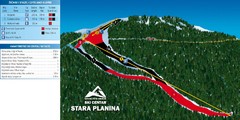
Ski Centar Stara Planina Ski Trail Map
Trail map from Stara Planina.
54 miles away
Near Stara Planina, Serbia

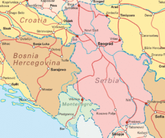
Interrail Routes for Serbia Map
Interrail Railway Routes for Serbia, Bosnia Hercegovina and Croatia.
55 miles away
Near Serbia

 click for
 Fullsize


0 Comments
New comments have been temporarily disabled.