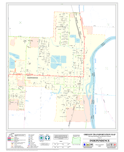
Independence Oregon Road Map
near Independence Oregon
See more
 See more
Nearby Maps

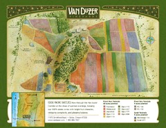
Van Duzer Vineyard Map
"A colorful vineyard map that shows the location of Van Duzer’s numerous grape varietals...
10 miles away
Near 11975 Smithfield Road, Dallas, Oregon 97338

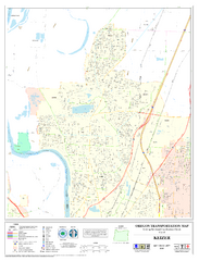
Keizer Oregon Road Map
12 miles away
Near Keizer Oregon

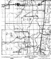
Transportaion for Benton County 1936 Map
1936 Map of Benton County, Oregon known as Muddy Area with counties, roads and towns marked
18 miles away
Near Benton County, Oregon

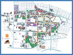
Oregon State University Campus Map
Campus map of Oregon State University in Corvallis, Oregon
20 miles away
Near Corvallis, OR 97331

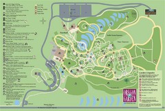
Oregon Garden Map
Map and key marking trails and more in this amazing garden.
21 miles away
Near oregon garden, silverton, or

 click for
 Fullsize

0 Comments
New comments have been temporarily disabled.