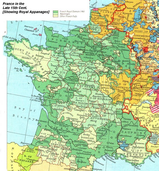
France Late 15th Century Map
See more
 See more
Nearby Maps

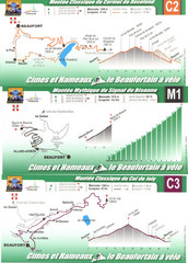
Beaufort Cycling Route Map
Three routes drawn and elevation gains shown for each cycling route in Beaufort, France's...
9 miles away
Near Beaufort, France

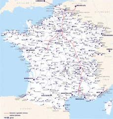
Map of SNCF National Railway Network in France
A SNCF map (Société Nationale des Chemins de Fer) showing the French train System...
18 miles away
Near France

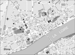
Blois Street Map
45 miles away
Near Blois, France

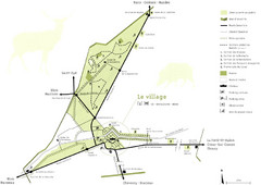
Chateau Chambord Estate Map
Estate map of the famous Chateau Chambord. Largest Chateau in the Loire River Valley.
45 miles away
Near Chambord, France

Chateaux of the Loire River Valley Map
Chateaus of the Loire River Valley region in France. Stretching from the Atlantic from Nantes to...
48 miles away
Near Loire River, France

 click for
 Fullsize


0 Comments
New comments have been temporarily disabled.