
 Edit this map

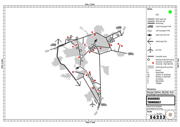
DTb Master Diagram (early draft) Map
near Kirkby-in-Ashfield, Nottinghamshire, England

 See more

Nearby Maps
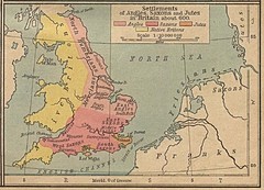
600 British Settlement Map
Map of settlements of Angels, Saxons, Jutes and Native Britons in 600
17 miles away
Near Britain
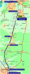
Nottingham Transport Map
A map showing train stations in Loughborough to Nottingham. Includes surrounding roads, towns...
18 miles away
Near Nottingham, UK
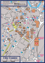
Sheffield Tourist Map
Tourist map of the city center of Sheffield, England.
21 miles away
Near Sheffield, England
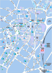
Sheffield City Map
City centre map of Sheffield, England. Shows parking, ATMs, and other points of interest.
21 miles away
Near Sheffield, England
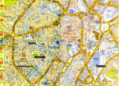
Sheffield City Center Map
21 miles away
Near Sheffield, UK

 See more


 Explore Maps
 Map Directory
 click for
 Fullsize

0 Comments
New comments have been temporarily disabled.