
 Edit this map

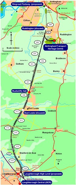
Nottingham Transport Map
near Nottingham, UK
View Location
A map showing train stations in Loughborough to Nottingham. Includes surrounding roads, towns, and waterways.

 See more

Nearby Maps
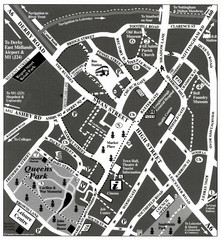
Loughborough Town Centre Map
7 miles away
Near Loughborough, Leicestershire, UK
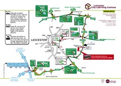
Leicester City Learning Centres Map
16 miles away
Near Leicester, England

DTb Master Diagram (early draft) Map
DUKERIES THINKBELT: MASTER DIAGRAM All elements and key
18 miles away
Near Kirkby-in-Ashfield, Nottinghamshire, England
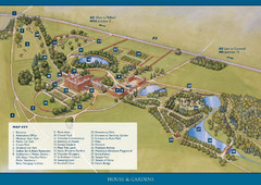
Weston Park Estate Map
22 miles away
Near Weston Park, Staffordshire, England
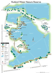
Map of Rudlin Nature Reserve
Full-color map of Rudlin Water Nature Reserve that includes the locations off all Footpaths...
23 miles away
Near Egleton

 See more


 Explore Maps
 Map Directory
 click for
 Fullsize


0 Comments
New comments have been temporarily disabled.