
 Edit this map

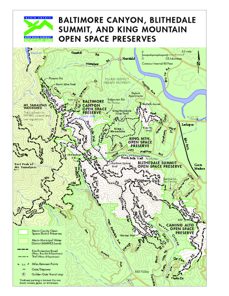
Blithedale Summit Open Space Preserve Map
near Larkspur, CA
View Location
Trail map of Blithedale Summit Open Space Preserve, Baltimore Canyon Open Space Preserve, and King Mountain Open Space Preserve.

 See more

Nearby Maps
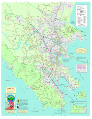
Marin Bicycle Map - Side A
Bike route map of Marin County, California. Shows primary and secondary road routes, paved and...
less than 1 mile away
Near Marin County, California
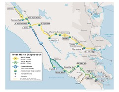
West Marin Bus Map
Bus route map of West Marin Stagecoach. Shows routes to Inverness, Point Reyes Station, Olema...
2 miles away
Near Marin, CA
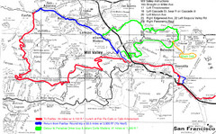
Alpine Dam Seven Sisters Road Bike Route Map...
Road biking route map for the classic Alpine Dam/Seven Sisters loop in Marin County from San...
2 miles away
Near Mill Valley, California
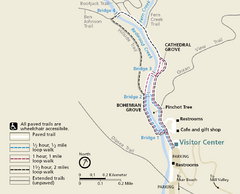
Muir Woods Trail Map
Shows paved loop walks and extended unpaved trails in Muir Woods National Monument, California
3 miles away
Near Muir Woods National Monument, California
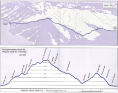
Dipsea Race Course Map
Course map of the annual Dipsea Trail Run Race. Shows birds-eye view and elevation profile of the...
3 miles away
Near Mill Valley, CA
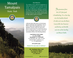
Mount Tamalpais State Park Map
Map of park with detail of trails and recreation zones
4 miles away
Near 801 Panoramic Highway, Mill Valley, CA

 See more


 Explore Maps
 Map Directory
 click for
 Fullsize

1 Comments
My grandmother used to live on Buena Vista! I used to hike up Mt. Tamalpais while visiting. So cool to be reminded of that.