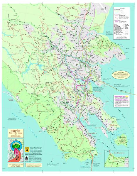
Marin Bicycle Map - Side A
near Marin County, California
View Location
Bike route map of Marin County, California. Shows primary and secondary road routes, paved and unpaved bike paths and trails, and locations of a variety of services and facilities. Side A
Nearby Maps
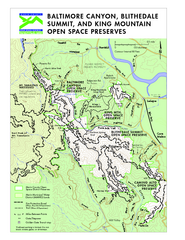
Blithedale Summit Open Space Preserve Map
Trail map of Blithedale Summit Open Space Preserve, Baltimore Canyon Open Space Preserve, and King...
less than 1 mile away
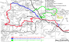
Alpine Dam Seven Sisters Road Bike Route Map...
Road biking route map for the classic Alpine Dam/Seven Sisters loop in Marin County from San...
1 mile away
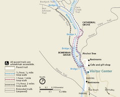
Muir Woods Trail Map
Shows paved loop walks and extended unpaved trails in Muir Woods National Monument, California
2 miles away
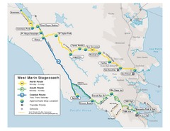
West Marin Bus Map
Bus route map of West Marin Stagecoach. Shows routes to Inverness, Point Reyes Station, Olema...
2 miles away
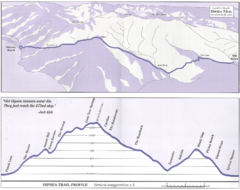
Dipsea Race Course Map
Course map of the annual Dipsea Trail Run Race. Shows birds-eye view and elevation profile of the...
2 miles away
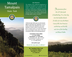
Mount Tamalpais State Park Map
Map of park with detail of trails and recreation zones
3 miles away

 click for
 Fullsize

1 Comments
also see Side B