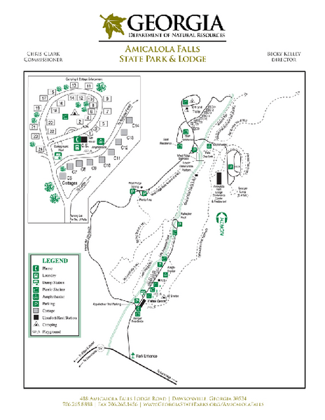
Amicalola Falls State Park Map
near 418 Amicalola Falls State Park Rd, Dawsonville, GA
See more
 See more
Nearby Maps

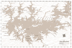
Pirate Map of Lake Sidney Lanier
Retro look pirate's map of Lake Sidney Lanier near Atlanta, Georgia
27 miles away

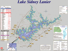
Lake Sidney Lanier Recreation Map
Recreation map of Lake Sidney Lanier in Georgia. Shows campgrounds, day use parks, marinas, and...
28 miles away
Near Lake Sidney Lanier, Georgia

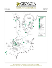
Fort Mountain State Park Map
Map of park with detail of trails and recreation zones
30 miles away
Near 181 Fort Mountain Park Rd, Chatsworth, GA

Allatoona Lake Map
36 miles away
Near Allatoona Lake

Soque River Ramble 6K Run & Walk Course...
Soque River Ramble 6K Race Course Elevation Map in Georgia.
38 miles away
Near Batesville, Georgia

Red Top Mountain State Park Map
Map of park with detail of trails and recreation zones
39 miles away
Near 50 Lodge Rd SE, Cartersville, GA

 click for
 Fullsize

0 Comments
New comments have been temporarily disabled.