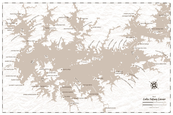
Pirate Map of Lake Sidney Lanier
See more
 See more
Nearby Maps

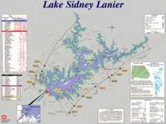
Lake Sidney Lanier Recreation Map
Recreation map of Lake Sidney Lanier in Georgia. Shows campgrounds, day use parks, marinas, and...
3 miles away
Near Lake Sidney Lanier, Georgia

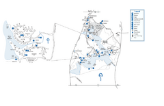
Fort Yargo State Park map
Detailed recreation and camping map for Fort Yargo State Park in Georgia
23 miles away
Near 210 S. Broad Street Winder, GA 30680

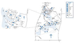
Fort Yargo State Park Map
Map of park with detail of trails and recreation zones
23 miles away
Near 210 S. Broad St, Winder, GA

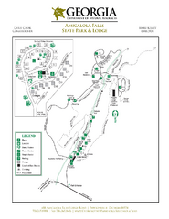
Amicalola Falls State Park Map
Map of park with detail of trails and recreation zones
27 miles away
Near 418 Amicalola Falls State Park Rd, Dawsonville, GA

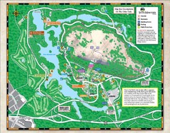
Stone Mountain State Park Map
31 miles away
Near Stone Mountain Park, Georgia

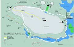
Stone Mountain Park Trail map
Trail map of Stone Mountain Park near Atlanta, GA
31 miles away
Near Stone Mountain, Georgia

 click for
 Fullsize


0 Comments
New comments have been temporarily disabled.